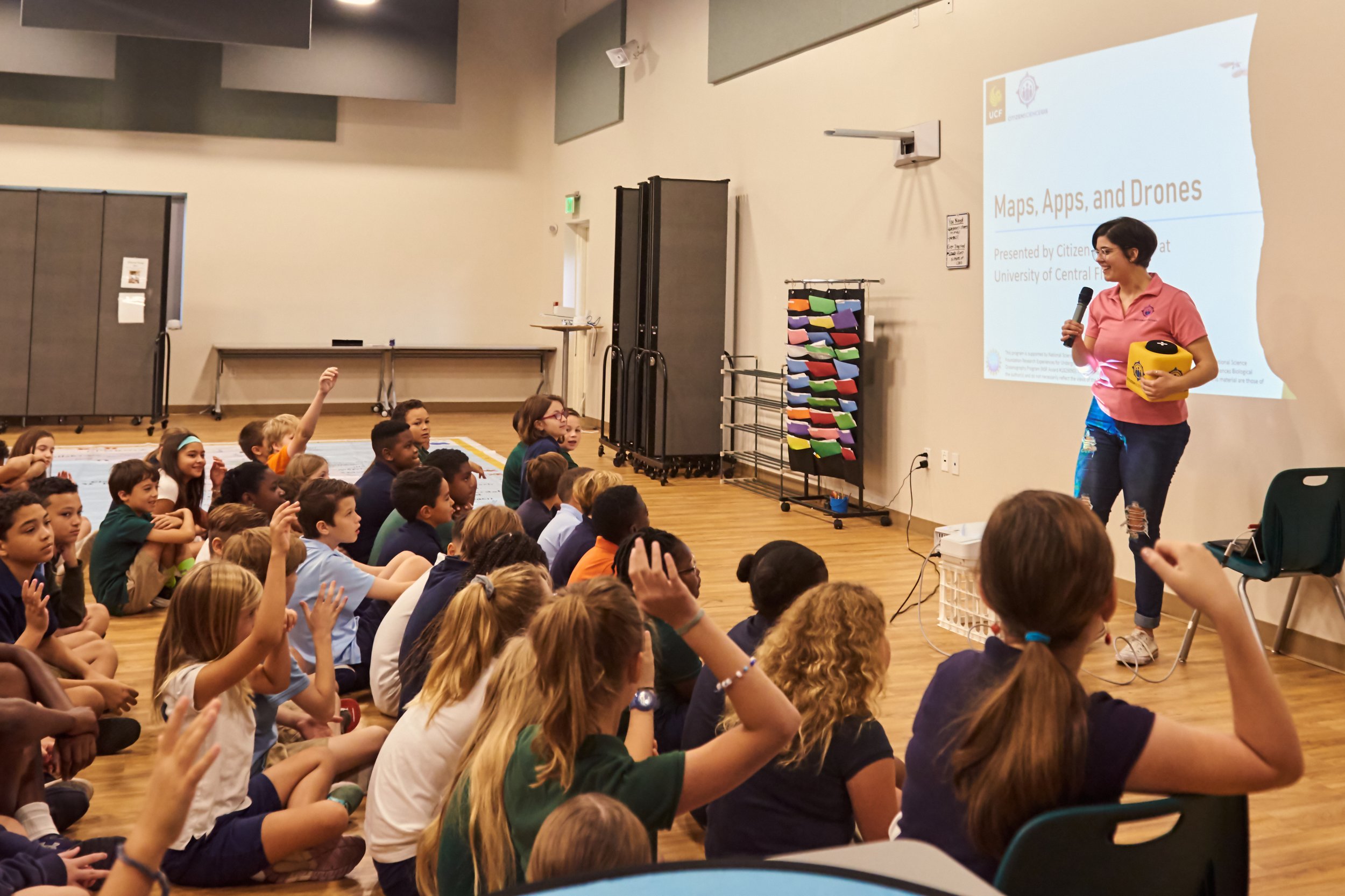
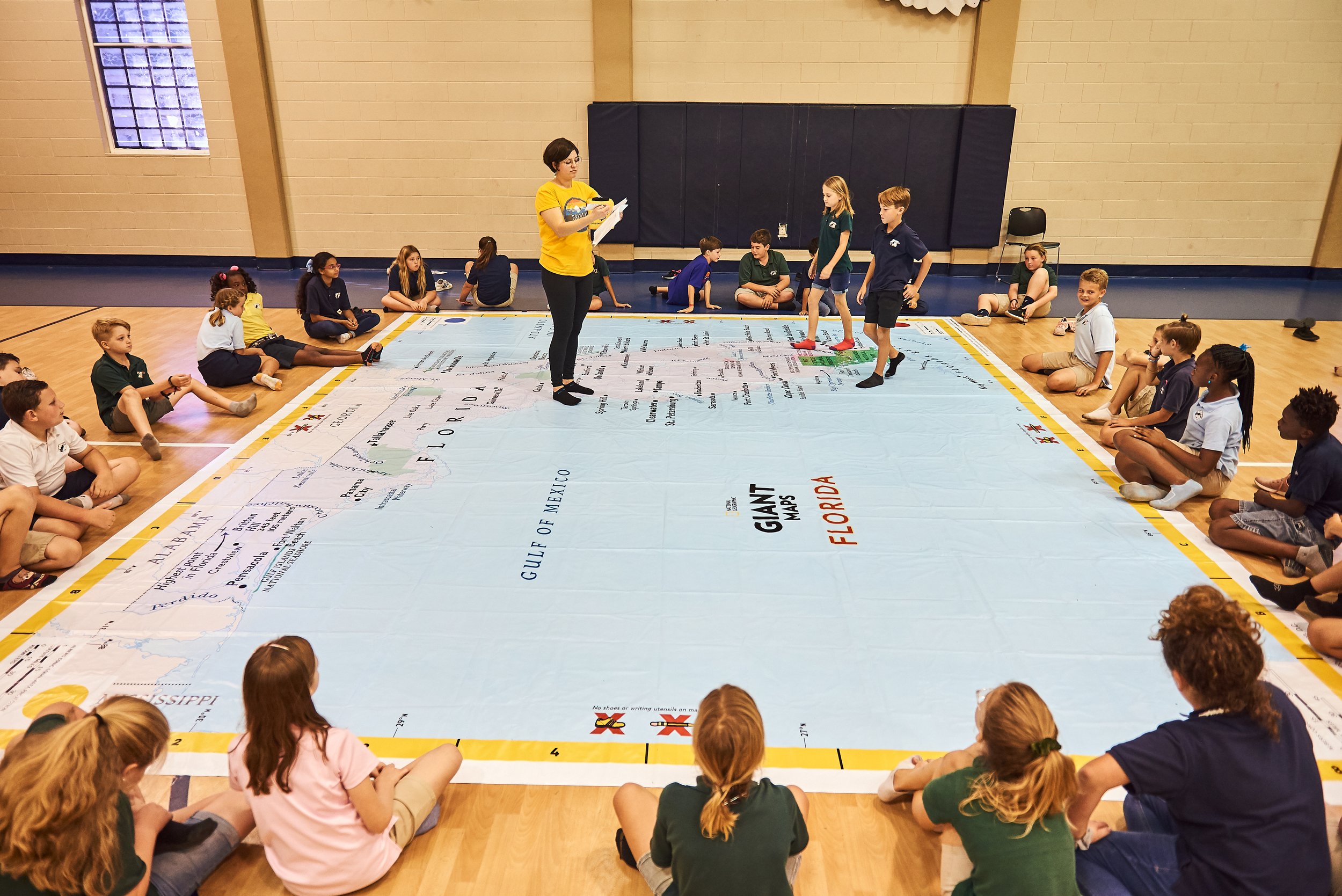
The Maps, Apps, and Drones Tour
Maps, Apps, and Drones Tour
As Outreach Coordinator, this role focused on bringing geospatial technology directly into classrooms across Central Florida through hands-on, high-energy school visits. The Maps, Apps, and Drones Tour, now known as The GeoBus used tools like virtual reality goggles, mini-drones, and an augmented reality sandbox to spark curiosity and make GIS approachable and fun for K–12 students.
This project was all about breaking down barriers to science. By leading event logistics and coordinating with schools it helped create meaningful STEM experiences for students who might not otherwise encounter tools like GIS or remote sensing. It was an outreach with a purpose where tech met imagination, and every visit brought the “wow” factor.